2024
ArcApple!!
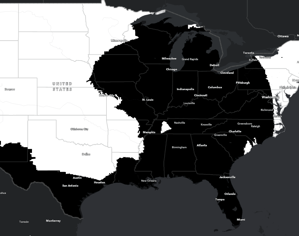
Python GIS- Created a video using ArcGIS's ArcPy Python library, based on the popular "Bad Apple!!" music video, by using U.S. Census block groups as a canvas for the music video animation.
- Paired Python's multiprocessing with a clever use of GIS and image processing libraries to convert the 6,563 frames of the animated music video to a GIS-compatible format. This process involved the transformation of frames into polygon shapes (using OpenCV and ArcPy), the selection of overlapping census block groups, and the stylization of these block groups for each frame of the video.
Nurdle Patrol
TypeScript JavaScript React Next.js GIS HTML / CSS- Developed interactive map and data table components for the (currently unpublished) next-generation website of the Nurdle Patrol citizen science project, using React, Next.js, Flowbite, Tailwind CSS, and the ArcGIS SDK for JavaScript.
- Worked in an Agile development environment at the Conrad Blucher Institute for Surveying and Science, collaborating with a lead developer, product owner, scrum master, and product designer to deliver reusable React components to be used across the site.
- Integrated map and data table components in a page, making use of the project's Next.js-based API, its internationalization framework, and a GeoJSON library to transform simple x/y coordinate entries in the database to a bilingual, intuitive interface for viewing user data.

2023
Database development Python SQL
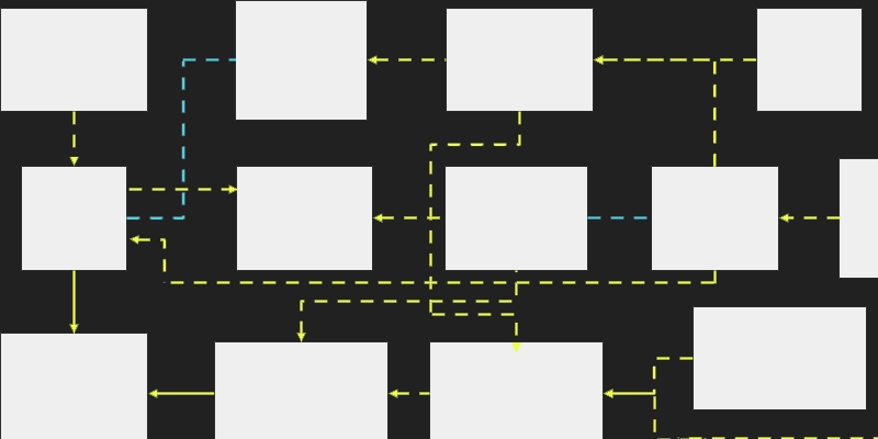
A project laying out the development of a shipping business and its policies, through the development of its core database system.

Application development Database development HTML / CSS Linux Python SQL Web development
A full-stack e-commerce site built using Django, Bootstrap, and MySQL, serving as my first attempt in developing and self-hosting a dynamic web application.

HTML / CSS Web development
A responsive modern website built with Bootstrap, intended to showcase my past work, primary skills, and potential. First published in 2023 but is still being actively developed to this day.

Android Application development Java
A simple task and note-taking Android application demo, with an intuitive interface and nice task management features.
2022
GIS Remote sensing Scientific reports and research
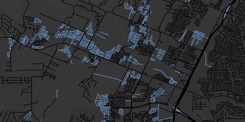
A remote sensing project that aimed to measure changes in the extent and effects of urbanization in northwest San Antonio; with its results demonstrating the factors that can impact remote sensing image analysis.
GIS Web development
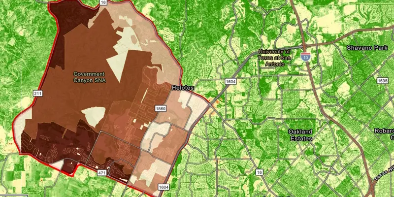
An ArcGIS Online web app that uses various methods to display and measure changes in urbanization in San Antonio, using different metrics and strategies for showing the growth of the region in the past decade.
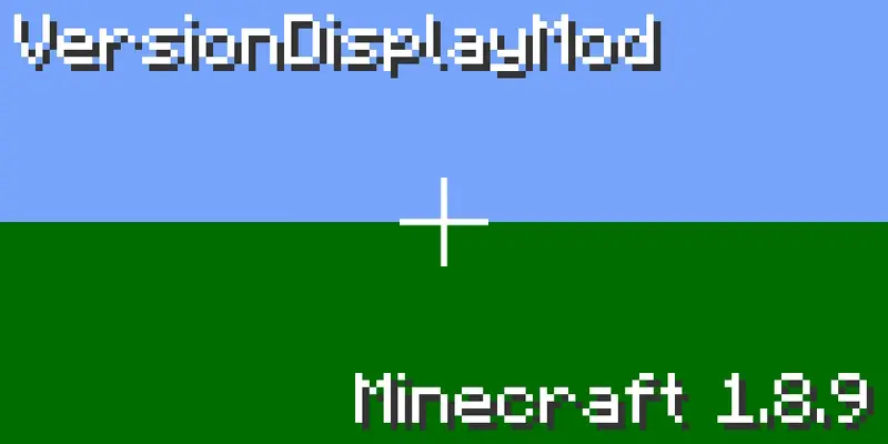
Java
A small Minecraft mod to display the version number in the top-left corner of the screen, in order to emulate the look of older versions of the game. Created as an exercise of writing code for "legacy" software.
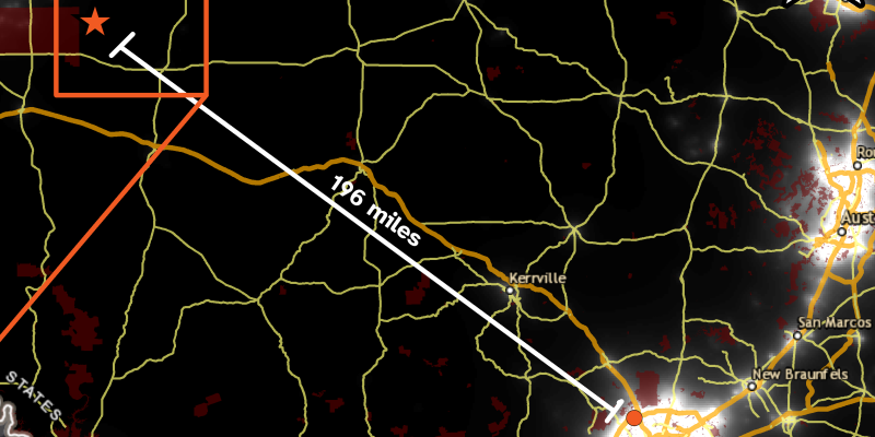
GIS Scientific reports and research
A GIS project that made use of public geospatial land use, light pollution, and elevation data to put together a proposal for a new rural university observatory.
2021

Linux
A custom OpenSUSE Linux image, personalized with applications and graphics that fulfill the needs of UTSA students.
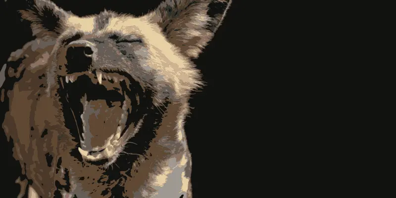
Scientific reports and research
A scientific report on the African wild dog (Lycaon pictus), which summarizes its biological characteristics, habits, and environmental situation.
